Author: Julian Maria Morejon Carmona
Date: March 2021
SOSEmergencias, as we have commented above, facilitates contact with the emergency services of the locality that we have entered in our personal data and, where possible, also allows the sending of instant location to said services.
If we find that the selected service does not support sending the location, it will show us the exact coordinates on the screen so that we can communicate them easily during the call, speeding up the process, which can be very interesting in the event that we have some emergency.
The application developed by NavegaGPS has been programmed taking into account being able to reach all possible groups of people, counting on the implementation of a wide accessibility support in it.
In this review we will do an analysis of the app for both Android devices and IOs, focused on Android mobile devices with version 9 and for IOs version 13.4.1.
Soil-structure
Next, we will analyze in depth the application and its different aspects.
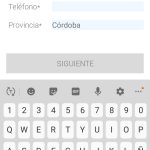
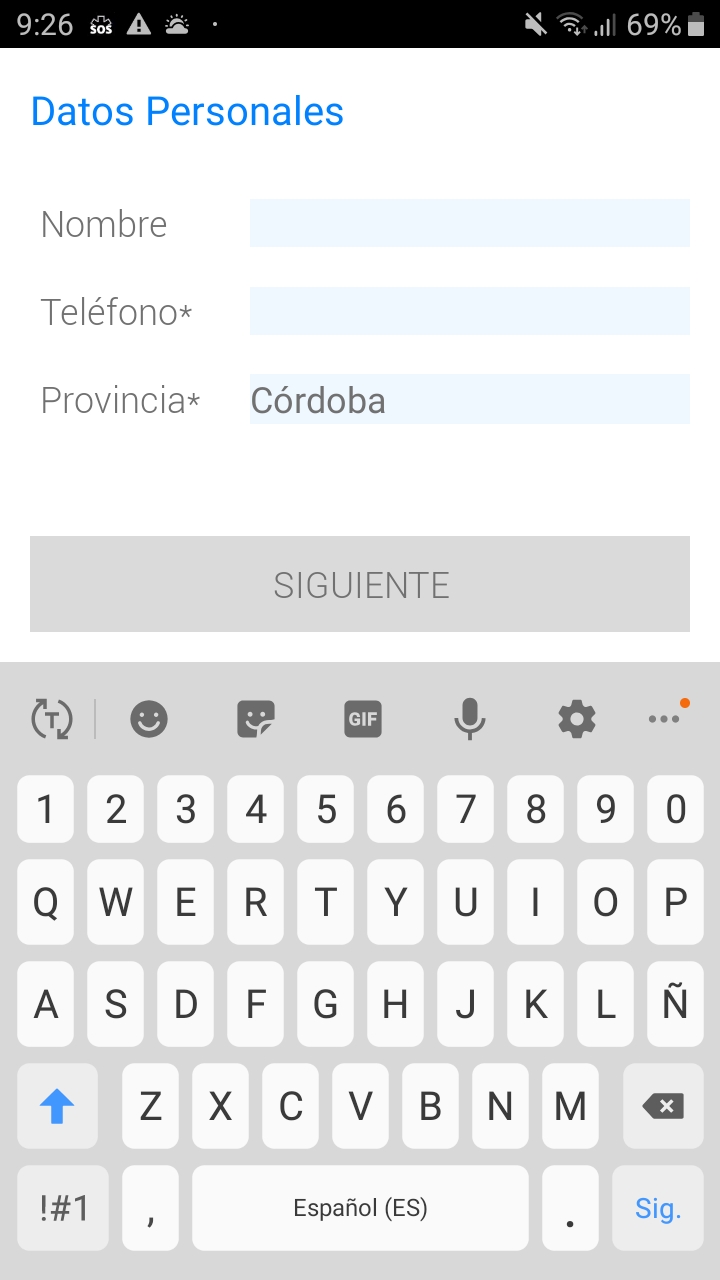
Once the app is installed, starting to use it is quite simple, when we open it for the first time, an interface will appear to enter our personal data and the necessary permissions will be requested to be able to make calls and send our location to the emergency services.
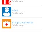
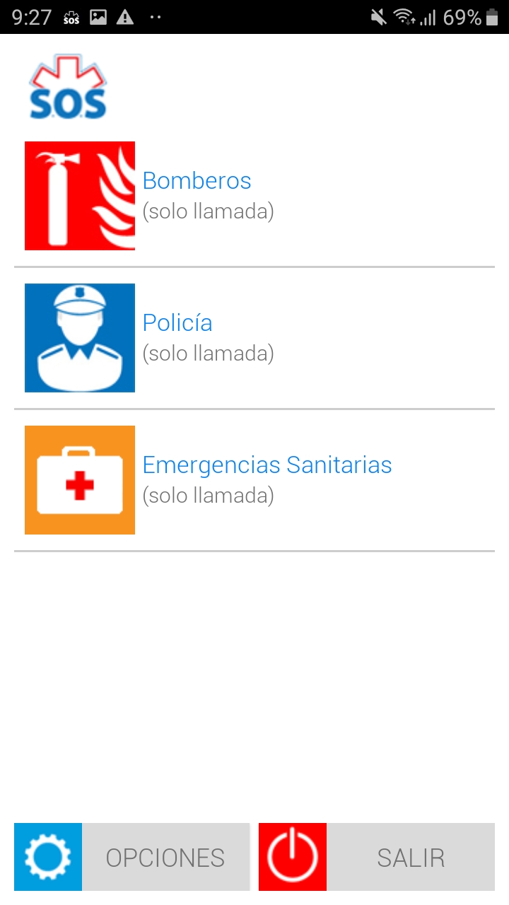
Once we have entered our personal data, the main interface will appear where the emergency services available in our province will be shown so that we can contact them.
The interface is quite simple, which is appreciated to facilitate communication with emergency services in situations that are necessary for any user. The interface, therefore, shows the services available in the chosen location and 2 extra buttons belonging to the options and exit respectively.
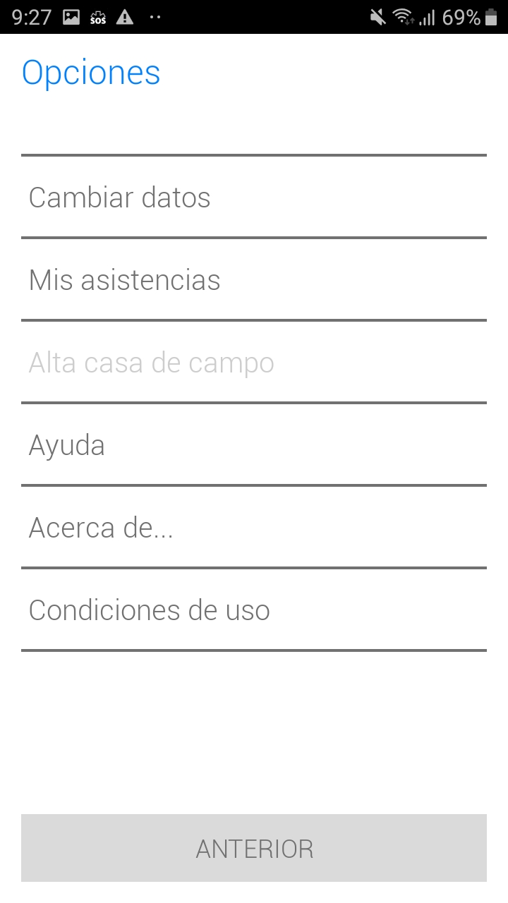
In the options button we find quite simple sections that offer us an extended customization of the app, although this is not necessary due to the characteristic of the app itself, we will find the possibility of changing our personal data and with the section my assistance, where we can enter data about roadside or medical assistance.
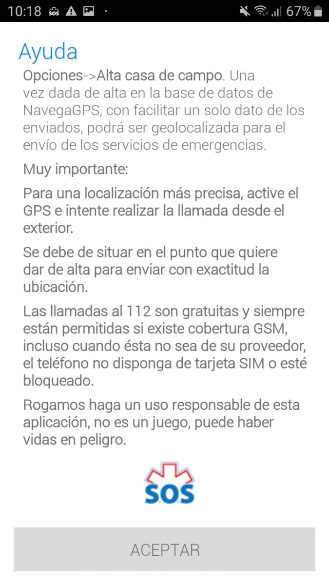
Apart in options we can access an interesting section such as help, where instructions about the operation of the app are shown.
In summary, the application, although it is quite simple and simple, fulfills what it promises and makes it much easier to locate emergency services in the event that we have to use them, in addition to showing a fairly clean design make it very intuitive to navigate the application.
Accessibility
One of the aspects that the developer gives more importance to, along with the ease of communication with emergency services, is accessibility. This is why the app is fully labeled for screen readers such as TalkBack and has quite remarkable icons, so that anyone belonging to the group of people with visual disabilities can use it without problem. It also contains facilities for people with hearing problems or victims of gender violence.
For other groups of people, in the case of people with physical difficulties, if the case requires it, they can use screen buttons, so that they can use the app without complications.
In short, its simple design, in which each element is highlighted with a large size and highlighted with suitable colors, together with the adaptations to facilitate accessibility mentioned above. They make the app fully comply in this aspect and the great work behind it is noted to be able to facilitate access to the app, to the maximum possible groups of people
Conclusions
After testing the app in depth, we can affirm that it meets its main objective, which is to facilitate communication and location with the emergency services in our area, providing a fast and accessible alternative for a large group of people.
But that does not prevent it from presenting certain deficiencies in some aspects and that the option to send the location instantly while we contact the services is only compatible with the emergency services of very few territories.
The option available for most emergency services is only the option of calling and the coordinates of the location where we are to be displayed on the screen to facilitate quickly telling the person we contact the emergency service, which although less efficient than The previous option is still very useful and speeds up the process.
We also add that being available both for Android and IOs, it encompasses the entire user community, a very important aspect, as it guarantees that the app is available to any user regardless of their device.
Highlights
-
Speed: It allows us to quickly communicate with the emergency services in the area where we are, helping them to help us easily
-
.Good design: Simple interface and fast operation, which help the user to access the functionality without complications or confusion.
-
Accessibility: The effort of the developers is appreciated in making the application accessible to the maximum number of groups of people, having additions and support to complement this objective.
Improvement points
-
Optimizing the use of GPS: The application uses the GPS of our device to be able to show the coordinates or send the location in the necessary cases, but the fact that it is always locating us even when the app is not used, leads to a high battery consumption. That could negatively affect our device, so an improvement in how to access the GPS only when opening the app, for example, would be very interesting to mitigate the problem.
-
Increased service support with location submissionAlthough the app shows the coordinates of our location when the service we contact does not support direct delivery, adding more services that support direct location delivery to the list would be a convenient addition to improve the performance of the app. .
